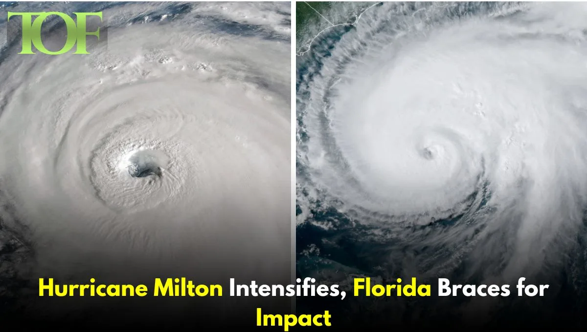
As Florida recovers from the aftermath of Hurricane Helene, which hit just less than two weeks ago, a new threat is emerging in the form of Hurricane Milton. This storm, which threatens to hit the state on the evening of October 9, poses a serious danger to a state that is still trying to come to terms with the loss of more than 160 lives through Helene’s destruction.
To make matters worse, Florida’s governor has declared a state of emergency for the areas most expected to be hit by the calamity. Total evacuation has started throughout the region as people prepare for the worst. With Hurricane Milton expected to be one of the worst storms bound to strike west-central Florida, authorities in the state are calling upon people to find safety and pay heed to all safety warnings.
The U.S. National Hurricane Center (NHC) classified the latest update of Hurricane Milton as a category 4 storm with maximum sustained winds at 155 mph (250 km/h) with higher gusts. This is expected to be an extremely dangerous hurricane approaching the Florida coast with possible changes in its intensity.
According to meteorologists, Milton has intensified explosively, a character that has been increasingly witnessed lately. This rapid intensification is comparable to that experienced in Hurricane Beryl in July the third quickest intensification in the Atlantic basin according to NHC data.
The very high sea surface temperatures in the Gulf of Mexico were one of the significant factors contributing to Milton’s energy. Warm ocean waters are force multipliers for hurricanes, and this allows them to gain power at a rate a lot quicker than expected. The warm water available in the Gulf was deep enough to provide Milton with adequate energy that would propel it into a great and fearsome storm.
Another issue in Milton is the size. Hurricane-force winds extend outward to 30 miles (45 km) from the center. In this scenario, a large enough radius means that winds could lead to damage and destruction over Florida’s west coast. Tropical-storm-force winds reach up to 80 miles, or 130 km, from the center.
Coastal areas are preparing for a major surge with 10 to 15 feet of water projected in the Tampa Bay area. This surge will flood the coastlines as high tide and strong winds force seawater ashore. The storm surge, combined with destructive waves, may prove deadly to residents in coastal areas.
Heavy rain is expected on the Florida Peninsula, in the range of 5 to 10 inches (12.7 to 25.4 cm), even higher in isolated areas up to 15 inches. This event will not only pose a serious threat of flash flooding and urban flooding but also exacerbate the already risky situation in parts of the state where Hurricane Helene recently left her mark.
Again, Milton, Florida, is preparing to face the catastrophe it fears most devastating hurricane season. As Helene did, Milton’s double whammy has made everyone in the community sorely worried for the community, the emergency responders, and teams of people working toward recovery. In this regard, the focus is on equipping citizens with whatever they need to evacuate or be evacuated in a safe zone.
Future Perspective: Hurricane Milton Track
As Hurricane Milton reaches Florida’s shore, it is expected to traverse most parts of the state and move out into the Atlantic Ocean, but days to overcome the effects of wind-related damage and flooding followed by power outages are likely.
Apart from Milton, two other hurricanes are still active in the Atlantic: Leslie and Kirk. Though Hurricane Kirk is forecast to weaken as it is on its way to Europe, it may still bring gusty winds and heavy rains for parts of France around the Paris area. The fact that three hurricanes are still active in the Atlantic during October is highly unusual and accentuates the increasing unpredictability of weather patterns.
It is high time the residents in Florida, and those around the world, are adequately informed through the various public sources to make proper preparations to minimize the risks and damage. With Milton approaching, it is high time that everyone keeps their eyes and ears open to prepare themselves for another catastrophe from the severe weather.
Read About Seismic Activity in Iran and Israel
To Read More: Global

